Shake Out: New Zealands Biggest Eartquake Drill


 New Zealand will be holding its largest ever Earthquake Drill ever on 26th September at 09.26am.
 The target is to have at least 1 million people signed up by this time. With 2 months to go,a total of more than 250000 have already signed up.

 Some of the biggest companies have already signed up, and these include Air New Zealand, The Warehouse,Powerco and Fonterra.

 It is easy to join. Click on the link Shakeout,govt.nz to enroll. This page also gives a lot of useful information about the event.

 Also the following link takes you to the Civil Defence Web page where additional information is provided and a the history behind the event. The link to the Shake Out Page is also available on this page.
 Civil Defence NZ.

 It is important that people are aware of what they need to do in the event of a earthquake. So take time to read the above info and try and get others to get involved.

 Updates will follow when they become available.

james/windy hill flying club

Queen Elizabeth Park: Walks Behond Wellington.

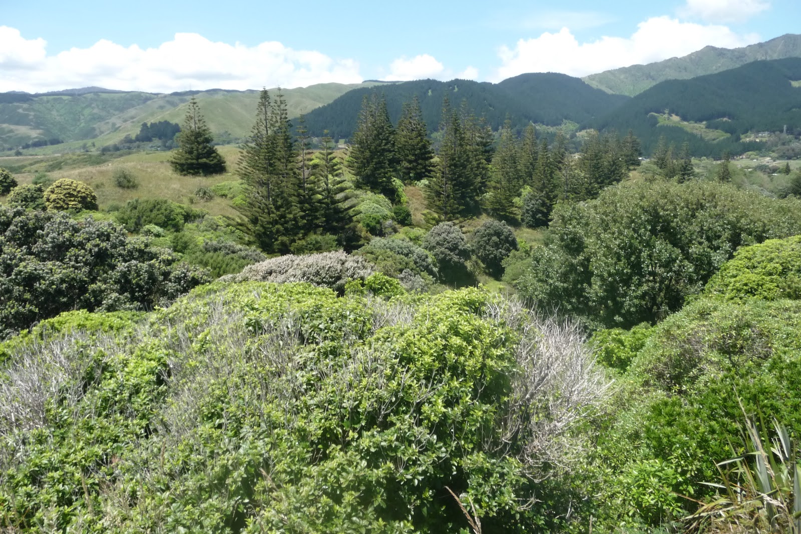
 This walk is situated along the Kapati Coast on the West Coast of the North Island and is set in 650 hectares.
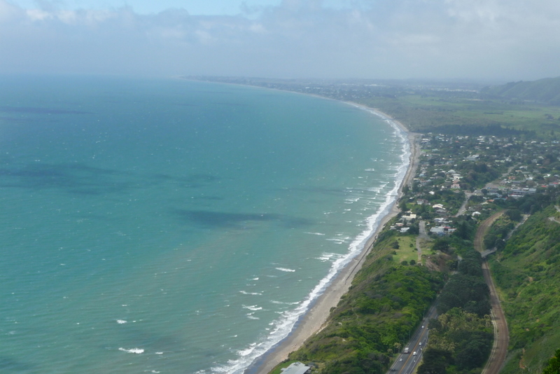
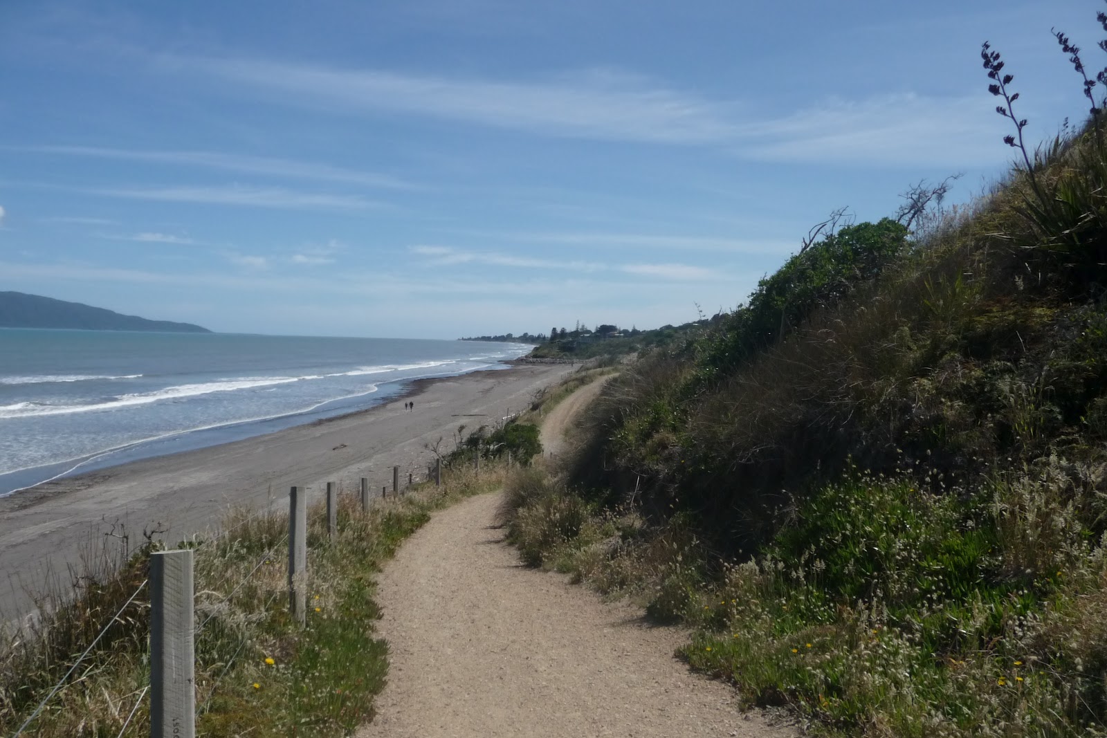
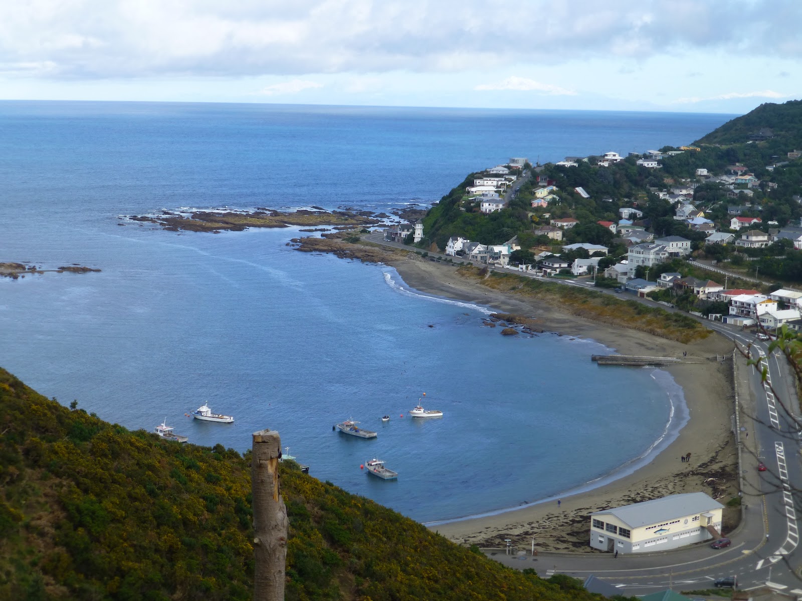
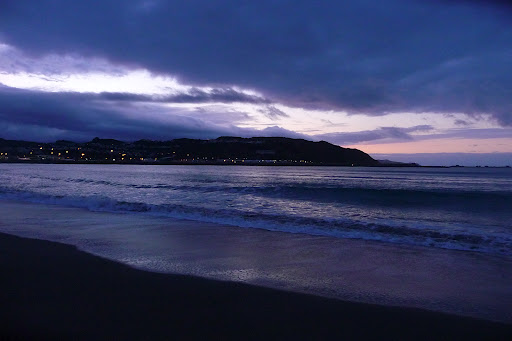
 This is beautiful area of the West Coast with a good sandy beach that runs from Paekakariki and runs as far as you can see. Well beyond Otaki.
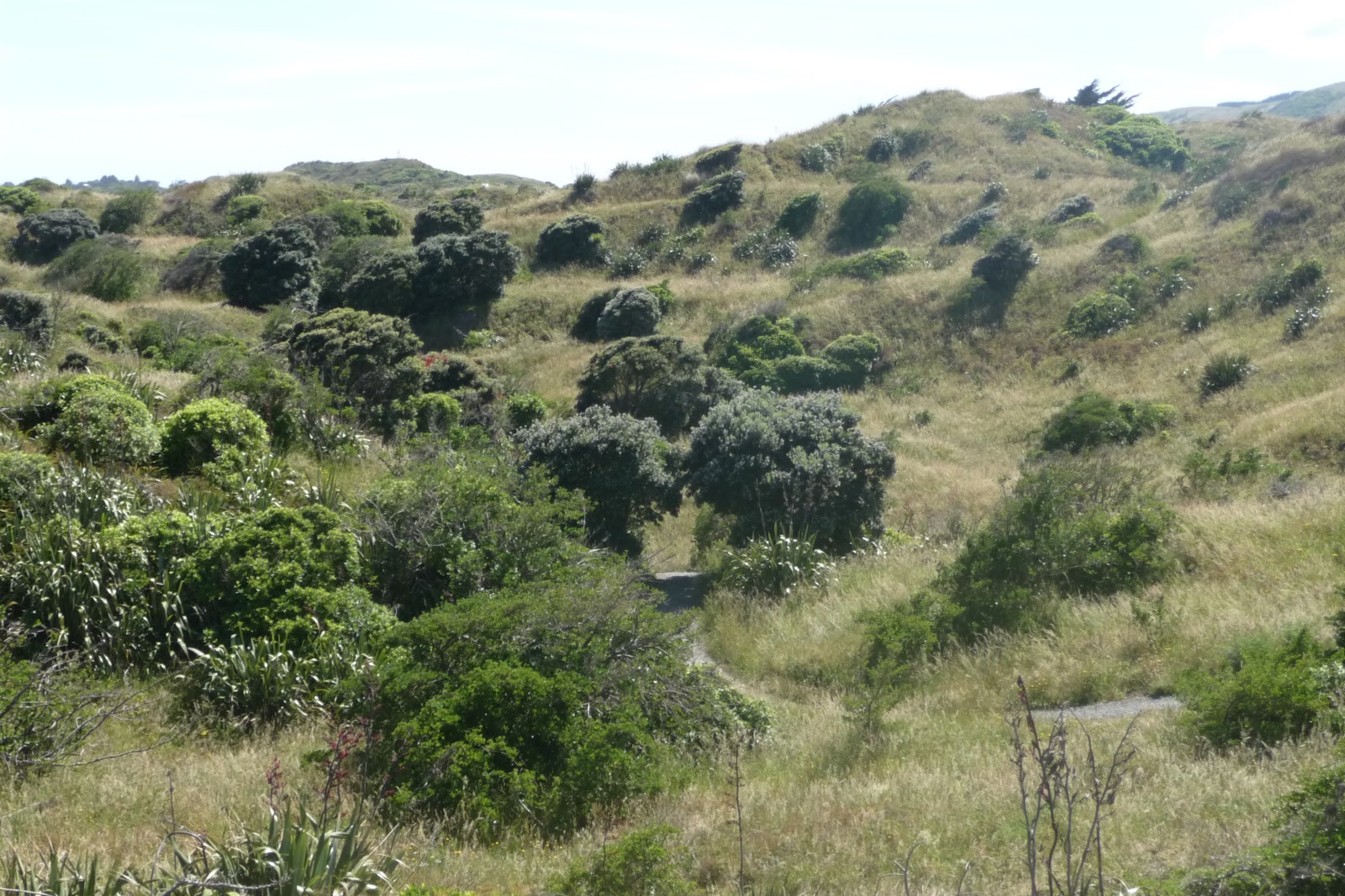
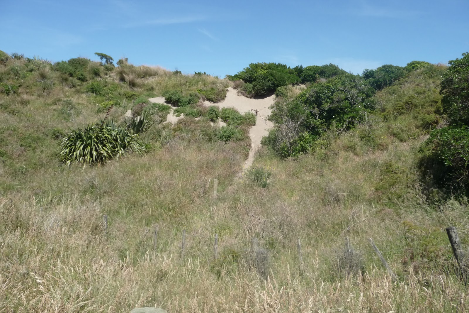
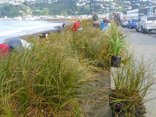
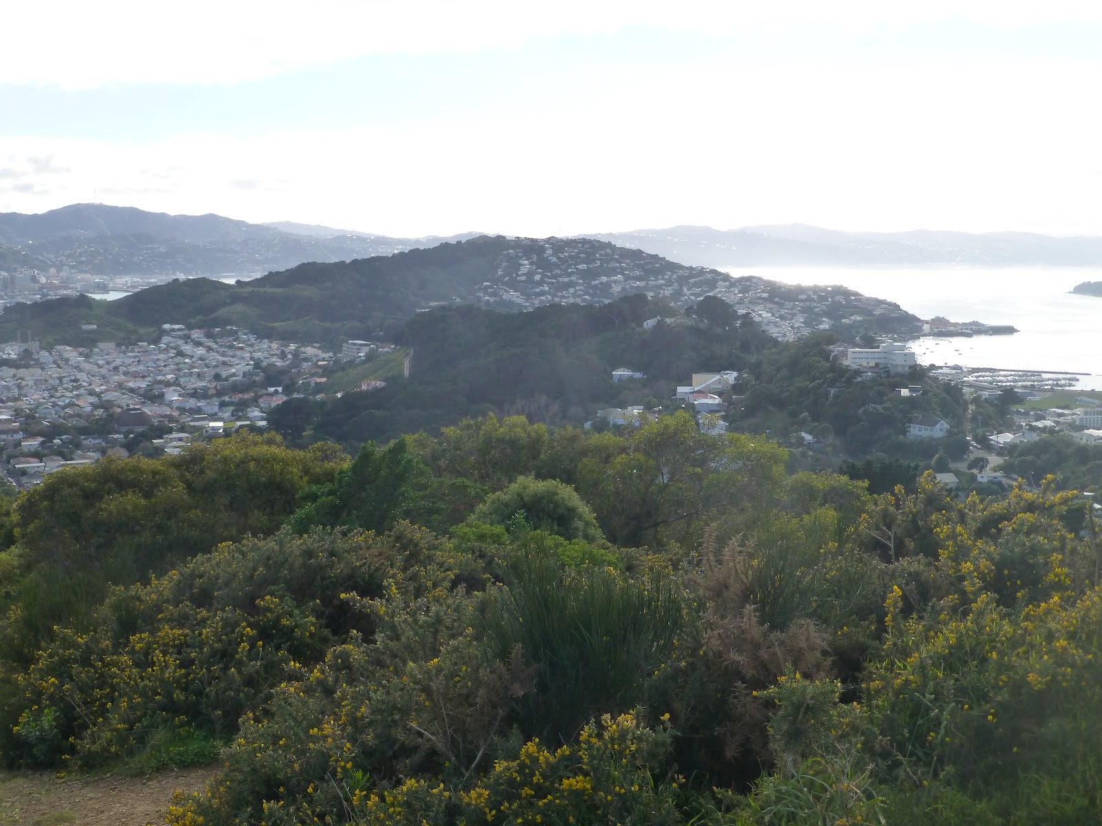
This is a beautiful walk that takes you along the dunes either by the coastal track where there are a number of tracks through the dunes that take you down to the beach, or the inland track What a great beach it is,and when it is out there is a vast expanse of sand for the kids to play on.
 There are plenty of tracks that also take you between both inner and outer so there is no chance of getting bored.
 Back to the park itself, starting from Paekakariki,  both tracks weave in and out of the dunes or take you up to the tops before dipping back down. A easy walk taking in the views of Kapiti Island will bring to Whareroa Beach where you can stop for a picnic if you wish.
 

 Behind this area is a model aeroplane club so there may be a chance that the club is out, if so take the kids to look.

 Also there is a rail track where at times,steam train rides operate. From here you can head back or continue to the Raumati Entrance. This section there is no opportunity to cross to either track.

  Once you reach the Raumati Entrance you can head back by one of the other routes or if feeling fit and the tide is out you can continue along the beach until you reach Paraparaumu.


 Take time to enjoy what this park has to offer as there is so much to enjoy for all the family. A must and well worth taking the time to enjoy what ever time of the year.

 If entering the park from the MacKays Crossing, you will have access to the Tramway Museum,wetland areas and a WW11 Marines display when the USA had a base here during the WW11.

 Access to the park is either from Paekakariki via the holiday park, MacKays Crossing of SH1 or from Raumati South.

 Getting There: By car, the park is located of SH1 about 40km from wellington.

                          Train, either Paekakariki Rail Station which is a 1.5km walk to the start, or to  

                          Paraparaumu Rail station, the #74 bus to Jeep Road for the Raumati South Entrance.
                          If starting or finishing in Paraparaumu then and of the buses from the station will take
                          you to the main town area. Here pick up the beach and head south.

  Note: Push bikes allowed, dogs on leads, suitable for buggies,toilets.

 Wellington Tramway Museum  Up to Date info on the Tramway.

 WW11 Memorial Info Memorial to the USA Marines that used the area as a base.

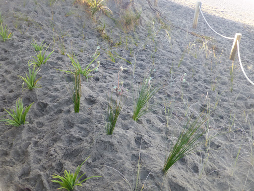
 Friends of Queen Elizabeth Park. Information on dune planting/restoration and other info.

Metlink NZ Bus and Train timetable.
Horse Treking Full information about Horse Treking.

Queen Elizabeth Park Plan Downloadable Map of the Park.

Waikanie To Otaki

View Queen Elizabeth Park in a larger map
james/wildbaynz/windyhillflyingclub.

Lyall Bay Coast Care Dune Planting Update July 2012

 The day dawned overcast and cold but luckily no rain was forecast. By 10am it had warmed up, the plants had arrived via a member of staff from the Parks Department.
 Already 10 keen members of the public had arrived trowels in hand. After the plants were taken from the
vehicle  and a quick run down of how to plant the plants a further 10 people turned up and 5 children in tow, all willing to give a hand.


 We were gap filling a section of Dune located  opposite the Airport Motel, near the Airport Retail park.


Very quickly people had their heads in the sand ( well from a distance it looked like they did.) and  the planting was well under way with some laughter and some interesting banter.
  We were planting 500 native Dune plants including Flax and Spinifex. The aim is to replace any non-native plants in the dunes. This would be completed over a number of years to ensure that no damage to the dunes could occur during the process.


 Within a hour it was all completed, the area was cleaned up and everyone went their separate ways.

 This time of year is chosen as it is winter in NZ and it gives the plants time to get established before summer arrives with the heat and lack of water that it brings.
 Depending on where planting occurs it is hoped that 80% of the plants survive and generally within 18/24 months the plants will have a least doubled in size and runners have started to form.


 Earlier in the week,staff from Wellingtons Botanical Gardens had planted 1500 plants as part of this ongoing process.


 They had already planted a further 2000 plants around Princess Bay, ( located on the coastal road between Lyall Bay and Island Bay).

 You can find information about the Coast Care group on FB under  Lyall Bay Coast Care.

 james/ lyall bay coast care

Southern Walkway Wellington

 We are Lucky in Wellington to have a number of great walks and this one is no exception. It forms part of the Town Belt and runs from Oriental Parade all the way to Island Bay. It forms a ridge between the main town and the Eastern Suburbs ( including Miramar,Seatoun and The Airport.) The main start is in Oriental Parade near the Carlton Gore Road junction.

 The path works it way up towards Mt Victoria with glimpses of the mast that can be seen from most places in Wellington.
   At each turn of the track you will get a different view of Wellington,The 1st part of the walk is steep in places but is worth it when you get to the top.
 Along with the direction signs there are signs that have CC and a orange triangle. These are a indication for Cross Country runners the steepness of the track.

 There is some great views with some information boards with a history of what there is including one on the wonderful windy weather that Wellington is known for.


 Once you’ve completed admiring the views you head down the road and after about 10minutes you cross over Crawford Street and after a walking around a couple of roads you head up through the pine trees in Trudy King Park.

 You head towards Melrose Park which backs onto Wellington Zoo, and on most days you will hear the roar of the lions.
 The track will take you around Mt Albert and you will come out near the water reservoir and the phone masts. Take a slight detour up to the trig point where you will see where you are heading to and what you have completed.

 After crossing Houghton Bay Road and heading up a short climb you will come to Sinclair Park where you will have a couple of options.
 The first one will take you down through the park down onto Houghton Bay Road. You then can head back up to Buckley Road which will take you above Island Bay with then a short steep downwards section until you arrive in Island Bay.
 The other option is to continue along the coast road until you arrive in Island Bay.

 If you are lucky and the weather is good then you will get goods views of the South Island with its mountains with snow gracing the tops.

 There are times that you are aware if traffic but this does not distract from having a great walk that takes in the best of what is on offer.
  The total distance is approx 9km and the highest point is 196m at Mt Victoria.. Allow 4 to 5 hours to complete the whole walk but there are a number of options of only completing smaller sections.
 Getting There: If starting from Wellington a quick walk from town will get you to the start or if by bus the #14 will stop at the walk start ( #24 during the week). If starting from Island Bay then the #1 is the option.
 If  still feeling fit the the coastal walk between Island Bay and Lyall Bay is a good option.

 Bikes are allowed along most of the track so take care.

Southern Walkway Map   Downloadable Map.

Bus Timetable  Metlink NZ

james/ windy hill flying club.

Lyall Bay: July Dune Planting 2012

 Join the Lyall Bay Coast Care on Sunday 8th July to continue its planting and gap filling of the dunes along Lyall Bay Beach. This a on going process to help bring the dunes back to life and to reintroduce more native plants into the dunes.

On Sunday we will be planting 500 plants as part of this process. All are welcome to help and get to understand the dunes and the long term plans for them.
 We will be meeting opposite Real Surf at 10am. We will be planting further along near Briscoes. You will be helped on how to plant the plants and then take a look at some of the areas that already have had planting completed and how they now are looking.

 Its a good opportunity to bring the family during the school holidays to help keep Lyall Bay Beach a great place to visit and enjoy a walk or a few hours.
  Bring a trowel and gardening gloves.  There is a Facebook Page called Lyall Bay Coast Care which shows up coming events like the Dune Planting and Beach Clean Up. Take a look and ask to join and keep eye on what happens throughout the year.

 I will update this page with photos of the planting.

James/WildBayNZ