Out There in Wellington: Sculptures, Grand Head

  Hidden away along Victoria Street overlooking Wellington’s Tourist Office on Wakefield Street is a sculpture  by Terry Stringer and was completed in 1986.

  A little of the beaten track for most visitors to Wellington it can easily be missed which is a shame.
 It was completed in 1986 as as been at the same location since then.

James/ Windy Hill Flying Club.

Out There in Wellington: Paddy the Wanderer.

Death of Paddy the Wanderer

 Paddy the Wanderer is a interesting tale from Wellington. Paddy was a Terrier (Airedale)who during the Great Depression (1930’s) would wander the streets of Wellington.
 Many people became friends of Paddy and was well known for greeting sailors as they arrived or departed from Wellington.

 On many occasions Paddy would make his way onto a Steamer that would work its way round the coast of New Zealand.
 Paddy had also crossed “The Ditch” to Australia  on a number occasions. It is also report that he also made his way to San Francisco.


 Paddy was given the title of Assistant Night Watchman by the Wellington Harbour Board. The job was to keep undesirables out as well as rodents.

 On 17th July 1939 he died after a cold period. His funeral included 12 taxis and at least 1 traffic officer.  It is said that funeral brought Wellington to a standstill.

 There is a sad aspect to the story. Paddy had been given to the daughter of R Gardner, it was after her Daughter died 11 years later, that Paddy ran away.


 A memorial Drinking Fountain including a dog drinking bowl is located out the Museum of Fine Arts. It is located near the TSB arena and opposite Post Office Square.
 Also a plaque is located the near by with all the story.
 The fountain was made in 1947 and was made from pieces of stone from the then bombed Waterloo Bridge, London.

 Three biographies have been written about Paddy over the years. and 1 book called Paddy The Wanderer based on Paddy written by Dianne Haworth. It was published on 1997 by Harper Collins.

James/ Windy Hill Flying Club

Out There in Wellington; City to Sea Bridge.

 The City to Sea Bridge was opened in 1994. It crosses the main road thats takes the cars along the waterfront as it heads out of Wellington.

 The designs on the bridge were designed by the famous Maori Artist Paratene Matchitt.

James/ Windy Hill Flying Club.

Orginally Posted 27th June 2012

Wellington Walks: Hutt River Trail

 I had heard about this trail a while back from someone who i worked with and would spend time  walking a small section of the trail.
 It may not be the most stunning of walks in the area but what it lacks in views it offers many opportunity’s to take short loops with family and friends,go for a run or have a good cycle with the kids.
 Day 1: I started the walk where the river empties into Wellington Harbour by the small Hikoikoi Reserve near Petone and headed to Silverstream.
 You can walk on either side of the river bank with the path being made of concrete. Take care if you are on the side of the golf course and stay to the footpath.
 You will pass under the Hutt Valley Rail Bridge and here you will see sections of stones exposed where feeding birds gather. Also along the bank you will also see fishermen trying their luck.Near the river head there is salt water option for fishing  which requires a licence.

 At about 9k (between Taita and Pomare)  is a good section that is suitable for swimming.
 To you left if heading towards Siverstream you will see the hills of The Belmont Regional Park, a stunning Park  affording some great views with peace and quiet.

 I finished my 1st day at Silverstream and headed to the rail station for the trip back to Wellington.

 Day 2: Silverstream to Birchville. The scenery changes from the flat area on day 1 to feeling that you are being closed in by the hills on either side. I found this section more enjoyable to walk with more interest around and the changes  of the river from as it comes down from the hills to the flatter and wider area.

 The best place to finish the walk is Birchville where you can get the bus back to Upper Hutt for train services.
 If you do continue you will find the walk becoming a little more rugged in places. The track heads towards Te Marua and at some point heads into the Kaitoke Regional Park.
 Overall this is a great track for spending a pleasant few hours with the family on a Sunday afternoon after Lunch.
 With the many bridges that  cross the river you can do loops as long or short as you wish. Overall a great few hours.
General Information:  The

 The track is approx 28Km to Birchville,with Silverstream is approx 13.5km
 There are some very good maps all along the track showing where you with distances and places behind and in front of you.
 There are toilets along the walk.
 Also there is wheelchair access and the route is pram and bike friendly.
 Dogs are allowed and must be under control or on a lead.
 Please be considerate to other uses.
 Remove litter.
 Note  no trail bikes,quads and trikes allowed on any part of the track.

Thank you to @thebay on Twitter. Over 500000 people use the trail each year. Just goes to show how popular it is.
 Good maps can be picked up from Wellington I-Sites and at Upper Hutt Visitor Centre:

For Map and Information click on link below:

Hutt River Trail Wellington Council 

Getting there and back click on link below:

Metlink Wellington 

Originally Posted 19th June 2012

James/ Windy Hill Flying Club.


Wellington Walks: East Harbour Ridge.

.ExternalClass .ecxhmmessage P {padding:0px;} .ExternalClass body.ecxhmmessage {font-size:10pt;font-family:Tahoma;}

This walk covers 3 main walks that follow the ridge above Eastbourne and the main East Harbour Regional Park.
The beauty of this area you can chose to do each sections as and when it suits you or any combination as you chose.
I chose to do this one mid week when the weather was cool but pleasant.Choosing to start at the furthest point of the walk I hoped off the bus at the Eastbourne Bus Barn depot, with a quick look across Wellington Harbor I head up the Bus Barn Track as it zig zag’s up the track stopping at times to admire the views and take some photo’s.

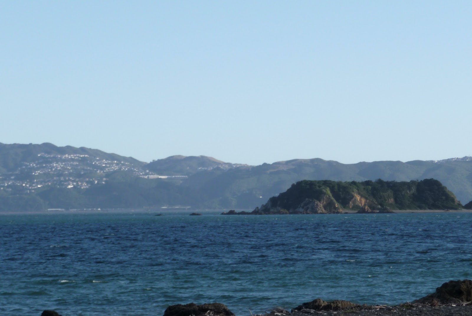
At the top of the track there is a lookout with some great views straight across to Seatoun and Somes Island.

A short track down you come across a junction. Straight on takes you to Butterfly Creek Picnic Area- a great area for the family to get away from the normal noise that is every day life.
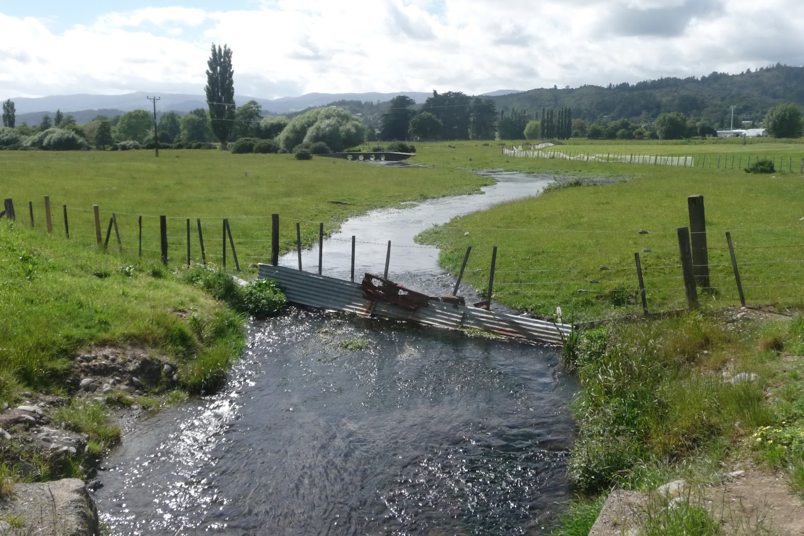
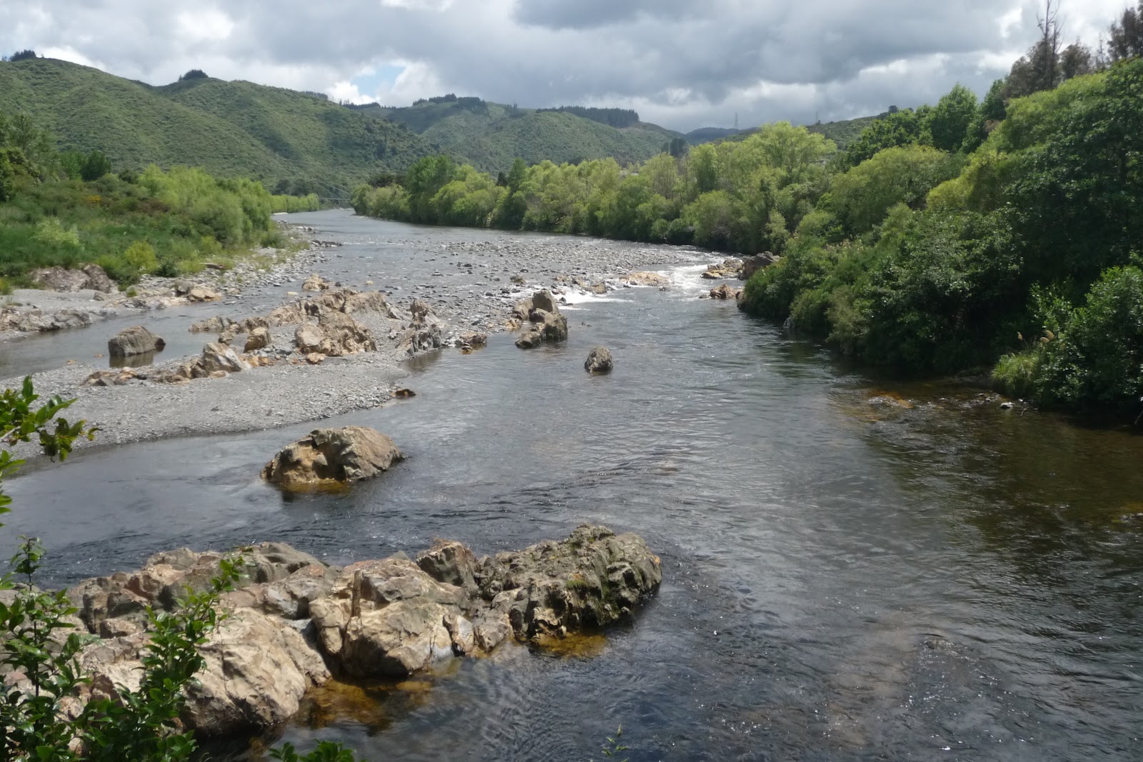
After a look at the area i head back up and followed the track that follows Butterfly Creek,which criss crossing the creek in places.
 It had been raining a few days before hand so a little damp underfoot but this did not make the track difficult to walk.
 The track then slowly winds it way up until you reach another lookout. Another great views open up here and if you are lucky and have a good clear day you could see the South Island.

 Take a breather before deciding where you want to head to. There are 2 tracks that take you back down to Eastbourne Village. The 2 tracks are Murital Park Track or Mackenzie Track.

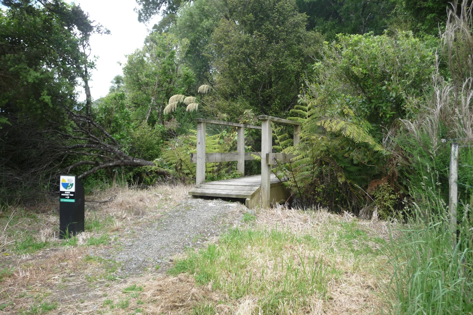
 For me that was to easy so i decided the 3rd option The Hawtrey Track. Not as well used when i joined it but clearly marked,
 Here you get lost in the trees with glimpse’s of the harbour but never really getting  a full picture. At times the track climbs over,round but never under, tree roots. The highest point is 343m but its never all down hill from here, as just as you think you have started the down hill, round the next corner or tree is another climb. Then at last you come out at the next main tracks. The first is the Kereru Track or after a short walk you come across Korimako Track, both bring you down to Days Bay. Both are steep in places so take care.
As with earlier and decided on the next option- to continue along the Main Ridge Track. Now there i was having a quiet rest having a bite to eat and something to drink a couple of track runners went passed as though they were on a stroll. How depressing.
 So not to be out done,feeling refreshed i head back onto the track. Walking the ups and downs of the track i enjoyed the quiet of the area but about 30 minutes later the same two runners passed me again and even worse not out of breath.

The final track options gives you 3 choices, Ferry Road Track, Kaitawa Track or head up to Lowry Trig above Wainuiomata where there are other track options,

I choice The Kaitawa Track with its steep descent down to York Bay.
The whole area is a great place for walking, with its different views, plant and animal life and a very quiet place to enjoy.
As you climb up or down you are likely to see areas of gorse which is helping to nurse the native plants as it would have been many years ago. Higher up is a mixture of Birch,Conifers and other Broad leaf trees. If lucky you may come across Orchids.
Listen out for the native birds having animated conversations with each other.I would very much recommend this area for the walks it has to offer.
 Getting There: If using a car there is plenty of parking but this may restrict how far you can go.
                           I used the bus service from Wellington that gave me the options to go as far as i felt
                           The 3 main bus routes that travel along the Eastbourne Road are 81,83,85.
                           Weekday services off more choice but the Weekend service is still good.
                           There are a number of bus stops along the road.
  Allow plenty of time to complete the walk/s but don’t completed more than you are capable of.  Be prepared for changeable weather and ensure that you carry food and water. Also tell someone where you are going and take a phone in case.
Further Information:
Maps can be picked up from Tourist office in Wellington and from the DOC office .
 EastHarbour and ButterFly Creek  Gives a good history of the area and a access to a map.

 Metlink Bus Timetable.  Also covers train timetables as well.


Orginally Posted 4th July 2012
James/ Windy Hill Flying Club

Out There in Wellington: Water Front Plaques.

 Located along the Wellingtons Water Front is Frank Kitts Park. A large area of grass where people can enjoy a short moment with family and friends or watching the children enjoying the play area.
 Here you can have a bite to eat or have a quick drink on a summers day.
 The park itself  is higher that the path that boarders the park and the water.Along the retaining wall you will find a number of plaques that celebrate some of the important sea events that Wellington and its harbour has seen.
 A small selection of those plaques are below. Some of the events include the arrival of immigrants from Europe, the 1st arrival of the USA Army during WWII and to those that served on the Atlantic Convoys.
The two stand out ones is one that celebrates the arrival of the Polish Children. These were the first Refuges that New Zealand received and now there is a vibrant Polish community that has added to the colour that New Zealand. Not to be forgotten are those from other countries that decided that New Zealand would be the place to settle in.
 The second choice is the one that remembers The Shaw Saville Line. This was the company that was the main boat company that was used as passenger services between NZ and UK . This was the company that 
brought my parents over and me and my brother,and sister as well as taking us back to the UK in 1966.
 So take a look the next time you are along the water front.
James/Windy Hill Flying Club.


Dune Restoration of New Zealand,Lyall Bay Coast Care

Keeping our dunes alive

Keeping our dunes aliveKeeping our dunes alive

 The Dune Trust (NZ) is a nationwide organisation that brings together a wealth of experience on the management of Dunes within New Zealand.

 The experience that is gained will help to improve the Dunes around NZ. This will help to maintain and then improve the Eco System that thrives in these areas.

 The trust will be down at Lyall Bay on 31st July near the airport end of the bay at 3.30pm where they will spend time planting a area of the Dunes.
 This planting has been ongoing with help from The Lyall Bay Coast Care and Wellington Council.

Dunetrust NZ  Main Web page. You can also find them on Facebook and Twitter.

Lyall Bay Dune Planting July 2012

Lyall Bay Coast Care Facebook. Has Updates on what the group does.

 These changes have been ongoing for a number of years and will continue to improve with the help of local communities, where many people give up their time to ensure that no further losses occur.

 Even today many dunes still remain under threat from development, vehicles,people and non native plants.

 There is approx 1100km of Dunes around NZ with many people leaving a drive from these areas.

 Take a look at the Dunes Web page to see if there is anything you can do and also if there are any local groups that you can join or even setting one up yourself.

james/ Windy Hill Flying Club

Lyall Bay:The Coolest Little Op Shop,Cat Protection League


  Tucked away along Kingsford Smith Street is The Coolest Little Op Shop  (well 2 containers) is the Cat Protection League.For almost a year until today (29/07/2012) it has been on a small plot of land next to Centennial Cafe and has been trading out of 2 small shipping containers.

 Its opening hours has been 10am to 4pm on a Saturday and Sunday,selling a range of items including books, clothing and small house hold items amongst other items.


 As the land has been sold and the new owners wish to develop the land for other things, they have no choice but to close and or move.

 Well the good news is that they are moving a few metres up the road to the building that overlooks the beach at Lyall Bay.
 They will be located in a room on the ground floor. The building can not be missed as it also houses Real Surf,Surf Shop.


 There will no need to worry about the weather as the building is weather proof, it has a toilet,a heater and more room to find that item you never knew you needed.Also there is still plenty of parking, you can still get a coffee and then head to the beach for a stroll.

 It will reopen on 11th August.So check it out and give it your support. There is no need to worry about the weather.

 Give it a look.

Cat Protection League, Wellington

James/ Windy Hill Flying Club.

Out There in Wellington: Rugby World Cup Sculptures.

 I came across the following to Sculptures after exploring areas of Wellington that i have not seen for a while.

 It highlights what the Capital has to offer that sometimes can be missed by people going through their everyday life or the tourist that spends only a short time in Wellington, but does not get the chance to explore what this great city has to offer.

 The 1st one is located by Rugby NZ Office’s in the Centre Port Area. It can be reached on foot by walking from town following the route used by the cruise line passengers.
 It is about 5 minutes from the new BNZ Building and is located by the footbridge that heads over the road to the main WestPac Stadium Walkway.

 It was designed by Cipre Stephane a French Sculpture. The theme is of 2 rugby players who are against the wall of words that depict what rugby (and sport is against).

 The words are
Disrespect
Lack of Discipline
Selfishness
Drugs
Cheating
Racism
Individualism
 The second Sculpture is found in a small park near the City to Sea Bridge. It is located below the bridge on the Town Hall side of the Bridge.
 It was designed and built between Wellington City Council and Weta Workshop.
 It depicts the waves in the Cook Straits and the power of the Earthquake, with Wellington “caught between the Sea and Sky.
James/ Windy Hill Flying Club