Coastal New Zealand: Lake Ferry, Cape Palliser Extension


Lake Ferry sit’s on the South Coast along from Cape Palliser and is located next to Lake Onoke which is its maori name.
It is believed the area was settled many years before european settlers arrived by the maori.
Sheep and cattle were brought into the area in 1844 with the settlers along the coastal route from the Wellington area.
It was not until 1850 that the first ferry service was started after a drowning in 1851 the Lake Ferry hotel was opened to provide accomodation.

On entering Lake Ferry you will see that the place is now manly used for holiday homes and with some caravaning sites some people mind you do call this part of the coast home on a year round basis.

At the end of the road you can park near the Hotel and walk along the unmade road that takes you to a grass and shingle bank where you can hear the sound of the waves breaking, Off to your right you will see the lake and in the distance a shallow shingle bar that allows water in and out from the open sea.

The short walk to the top of the bar can be tough but is well worth it, here you are welcomed with sight of Cook Strait and Cape Palliser to your left and Turakirae Head to your right which then carries on round to Baring Head.

It is a popular place to fish and wind surfers can be seen often crossing the waters of the lake, If time is not a problem stop for a meal and a drink at the hotel which likely has not changed much over the years which adds to its charm. 

On a cold day sit close to the log burner which helps to take the edge of the chill outside,
Stay late to watch the sun come down or if you are up to it,raise early to see the waters of the lake gain color as the sun climbs over the far hills that can offer a great backdrop for that perfect picture.

Coastal New Zealand:Cape Palliser.


The Cape Palliser road runs along the South Coast of the North Island, starting from the small hamlet of Whangaimana all the way to Cape Palliser Light House, the light house is the furthest point south along the north island coastline, further south than Nelson and Blenhiem on the mainland. 

It is at this point, if you are sailing, you turn either into the Cook strait or follow the East Coast North.
Cape Palliser was named by Captin James Cook in memory of his friend Sir Hugh Palliser who was a Admiral in the British Royal Navy.

Passing through Whangaimana ( Hospitality by the Sea in Maori) you come to a section of stunning looking  rocks called the Putangirua Pinnacles formed by erosion from the Putangirua Stream. Take time to view natures wonder.

Take care parking along this stretch as the road has become narrow because of erosion from the sea.

 Continue along the road until you arrive at Ngawi the main settlement along this stretch of coast. Your eyes will not decive you as you drive through Ngawi’s golf course ( links ) on either side of the road. I have not seen any one play yet. On the right before the bridge is a information board about the course and a honesty box for the $5.00 green fees. The 1st hole is a par 4 and is called Disaster. May be a indication that it follows the coast.

The main activities at Ngawi is fishing ( Paua, Crayfish and Cod). Also some of the baches can be rented out.
 On the beach you will see a number of boats on trailers with bulldozers attached. It is the only way to launch the boats or bring them in due to  the very stoney beach as there is no causeway, weather can be extreme at times as a result the boats are not able to put to sea.
As you leave Ngawi the tarmac road turns to gravel, make sure to look out for a rock formation that looks like a sail, It was formed from sedimentary rock that has been pushed up from a earthquake.

Locally it is known as Kupe’s Sail named after a Maori leader who was involved in the discovery of New Zealand by the Polynesian’s, Similair designed sail’s were made for sails boats of the time.*

Continue along the gravel road where you cross a couple of rivers either by a bridge or through the water, care is needed as the road is close to the edge of the water, if the winds are strong you can feel the car shake. Take time to photo some of the views that the coast has to offer.

The distance from Ngawi to Cape Palliser  lighthouse is only 5km but it will be a while before you see it from a distance.
It then appears, pearched high above on a rocky outcrop overlooking over the area as its own.

The road takes you around the front of the lighthouse where you will be able to park, here you will come accross a building owned by Maritime New Zealand.

On the building you will find a brief history of the lighthouse displayed with some additional information.

Not far from the building the climb starts up to the lighthouse, This is via 250 wooden steps which have been counted that will take you up to Cape Palliser Lighthouse.

Once you make the final step you will be rewarded with breathtaking views with the height giving you a real sense of the coast and the area that you have driven through.
 The road back will bring a different view which you may only glimpse in the mirror, weather along the coast is something to be careful of through out the year from bitter cold during winter to extreme heat during the height of summer when the area can become dusty which i found on my first visit to the area over a year ago when the only color was a dusty yellow left on the car.
*Music Video gives a good example of what the land can be like during summer. 

The Putanhiua Pinnicles. DOC NZ : Very good information on the pinnicles and the surrounding area.

Aorangi Forest Park DOC NZ : Covers the whole area of the Aorangi Forest Park including Kupe’s Sail.

Cape Pallister Lighthouse.Maritime NZ : Good information about the lighthouse including technicial information.

Expect the unexpected when driving, who knows what you may meet around the corner.

Getting there: Cape Palliser can be reached via Martinborough where it is well signed from the main square, the road is called Martinborough Pirinoa Road.

Travelling from Wellington once over the Rimutaka hills and in Feathetston you can take the Kahutara Road, along which when you arrive at Tuhitarata you turn right on to the Martinborough Pirinoa road, the turn off to Cape Palliser is not far after Pirinoa.

Note: Kahutara Road is prone to flooding, If closed there will be signs indicating this so head onto Martinborough.

As far as Ngawi the road has good seal but once through it turn’s to gravel so care will be needed, to make a day of the area before heading back inland take time out to visit Lake Ferry which is a short 10minute drive from the cross roads back to Martinborough.

The Distance from Wellington is approximately 110km to Cape Palliser.

*Wikipedia

James/The Bay Limited

Orginally Posted 30th June 2012

Out There in Wellington: Hidden Art: Geometric Growth,

 This is one of the oldest modern piece if sculptures in Wellington. It was first installed in 1974 and in 1989 was removed to make way for the development of Wellington’s Civic Square.
 Originally located at the corner of Victoria and Mercer Street. It was damaged during the move so was put into storage until 2006.
 After repairs it was reinstalled at its current location in 2006.
 Its current location near the Amora Hotel and next to the Michael Fowler Centre on Wakefield Street.

 It was made by Guy Ngan.

James/windy hill flying club.

Out There in Wellington:Matiu/Somes Island.

 Matiu/Somes Island is one of 3 islands that is located in Wellington Harbour and is the largest of the them. It is nearer to Petone and The Hutt Valley than Wellington.
 The island covers approx 30 ha (62 acres).
 The island name according to legend had its name (Matiu) given to it by Kupe, a legendary sailer who was the 1st person to arrive in New Zealand and managed to arrive back home with reports of the new land that has been discovered. The name is belived to be one of his daughters and he named it when he 1st arrived into the harbour around 1000 years ago.

 After the arrival of the European it was known as Soames Island when it was controlled by the New Zealand Company. The name was the companys deputy governor. In 1997 the NZ Geographic Board then renamed it and it then became Matiu/Somes in recognition of the Maori and European history.
 In 1989 the island became part of Lower Hutt and in 1995 DOC (department of conservation) took over the full control and it became a scientific and historic reserve.


 A Lighthouse was built in 1866 and was the New Zealand’s harbour lighthouse. The current one was built in 1900 and stands on the same location as the orginal. It still works and is automated.

 It also has a lot of resent history when it was used to house enemy interness during wartime. Also it was used as a quarantine centre for immigrants and animals arriving into New Zealand.
 In 1918 it was also used to house people during the Flu outbreak on the November although this had limited success.


 In 1942 the island had some anti aircraft gun emplacements. These were located on the highest point but were never use, The remains are still there.


As for non humans, the island is a popular plave for The Blue Penquins during breeding. Also a number of birds used the island including Shag’s and the Silver Gull.
 A number of rare plants can also be located on the island. Over 500 species are found on the island.

 Although the island is located in the harbour it be easily reached from either Wellington or Days Bay, by using the East by West Ferries. There are 3 times that it will stop at the Island before heading back to Wellington or carrying onto Days Bay. This will allow plenty of time to visit and enjoy the Island.

DOC Main site giving all the usefull info.

East by West  Ferry Timetable.

Metlink Ferry and bus timetable.

James/ Windy Hill Flying Club.
.

NZ Shake Out: Are You Ready: 26/09/2012.

New Zealand ShakeOut
 
1.3 million people.
 
 
Thank you for joining us in New Zealand ShakeOut – our largest ever earthquake drill!

We’re ready to ShakeOut – are you?

There’s just two days to go to the New Zealand ShakeOut and you are among more than 1.3 million already involved – what an amazing reponse!

Radio and TV to broadcast the civil defence ‘sting’ to trigger the Drop, Cover and Hold drill at 9:26-26:9

So far, Newstalk ZB, Classic Hits, Radio Rhema, Radio Live, More FM, and The Breeze radio stations throughout the country will broadcast the civil defence “sting” at 9:26am on 26 September – and TVNZ’s Good Morning will have a live segment on their show.  We are working with other networks to have them join in too! 
Plea from the New Zealand Fire Service

It has come to our attention that some organisations might be planning to use their building fire alarm to signal the beginning of the Drop, Cover and Hold drill at 9:26-26:9.  The New Zealand ShakeOut Team and the New Zealand Fire Service agree that a fire alarm should never used for anything other than an evacuation of a building. Using the fire alarm to trigger the drill has the potential to cause confusion and potentially a number of unnecessary call-outs of the Fire Service!

If you are planning to use your building fire alarm to trigger the drill, we encourage you to look at alternative options, such as an air horn, voice command, whistle, announcement over a PA system, a meeting invite or ShakeOut message on the computer.

Are your observers ready?

Whether you are a Council, government agency, business, shop, mall, community group or at home we’d love to know how the drill goes at your place. Make sure you get your organisation’s observer(s) ready and information sheet and survey form in advance of the drill.

This survey information will help us to determine how successful the drill was and what could be improved in the future.  It is important to identify areas requiring improvement before the next big earthquake!

Remember to Drop, Cover and Hold at 9:26-26:9

Drop, Cover and Hold graphicDrop, Cover and Hold wherever you are at 9.26am on Wednesday 26 September.Capture the moment with photos and video

Be sure to take photos and videos of your drill 

Sign in to the links below for the last minute updates and to find our all the information required.
     shakeout.govt.nz Main Web Page
© NZGetThru

Waikanie to Otakai:Walks Beyond Wellington

  This is the final section of the coast that starts at Paekakeriki and stretches all the way to Otakai. In doing this section of the East Coast of the North Island you will pass some interesting places and varied sections of the coast beyond the beach itself.
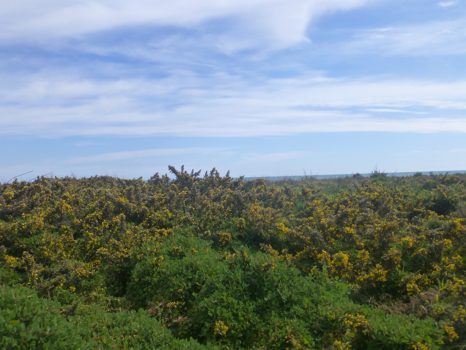
 Take a look over the dunes and take a look at what there is which is easily missed.

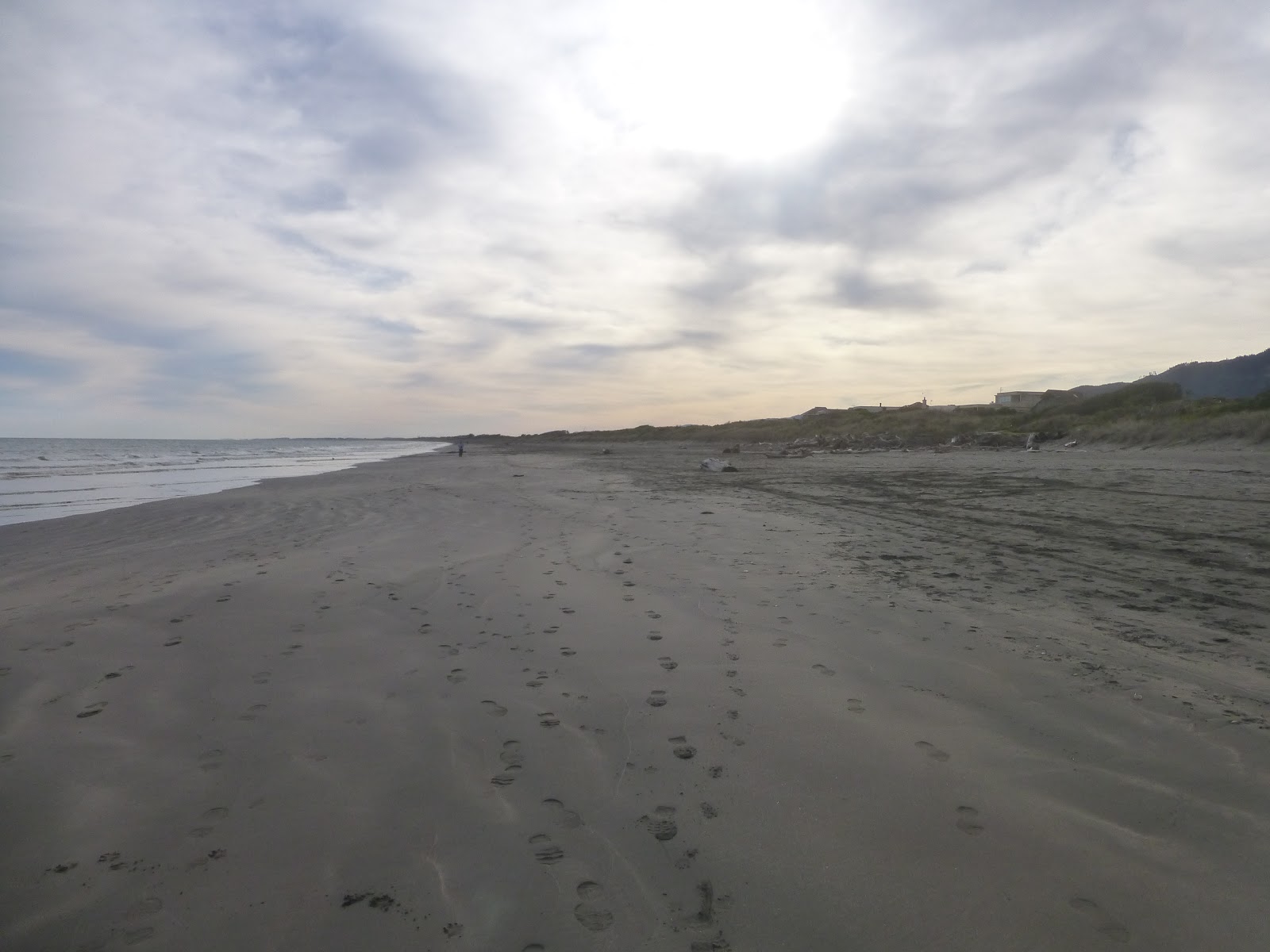
 Starting at Wakainiae beach you head along the sand beach which at low tide is a joy to walk along. When at low tide you will come across many people walking or walking the dogs, horse riding or youngsters using there imagination.


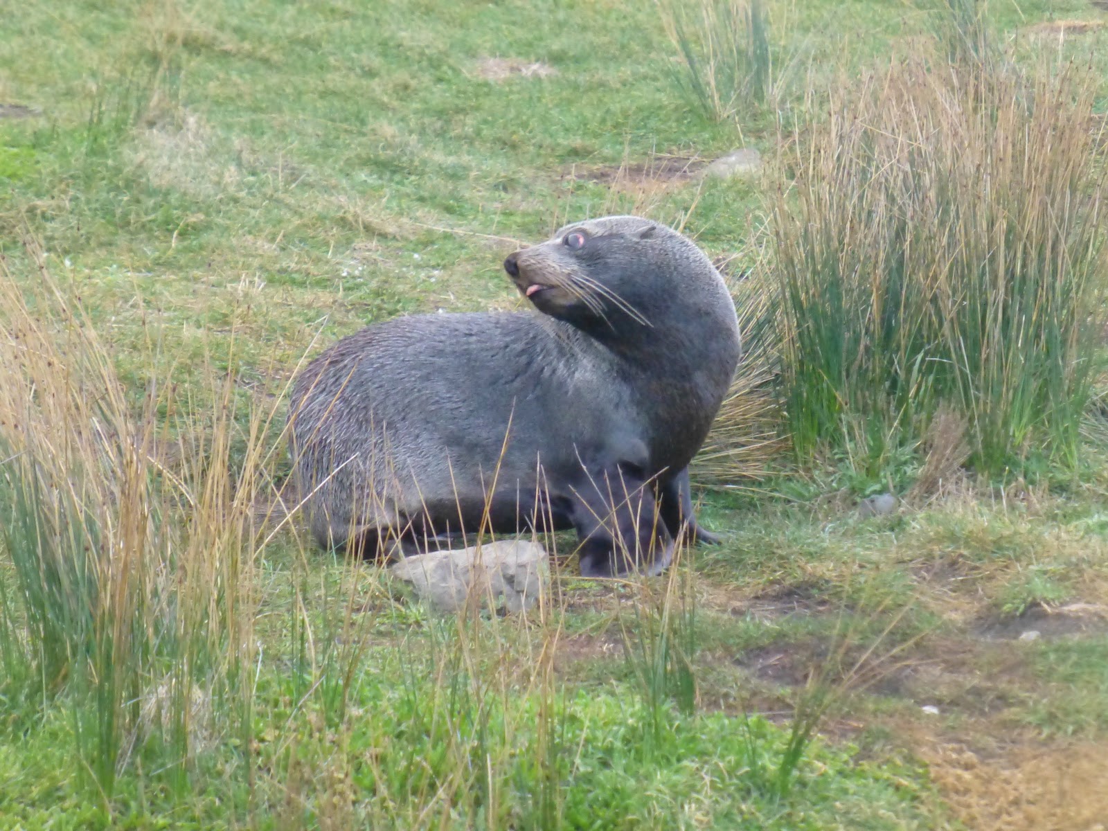
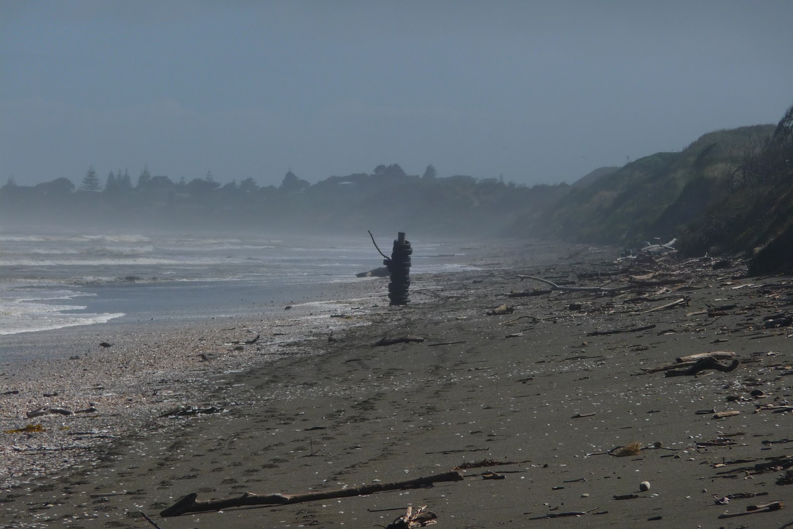
 Also imagine what the drift wood looks like from a distance. A seal raising its head or the Grim Reaper

 About 40minutes walk you will come across a small village of Peka Peka, which hit the headlines in 2011 when a Emperor Penguin from the Antarctic took a 3000km detour and arrived on the beach.. At the beach access for Peka Peka you will find a information board that is dedicated to its short but now famous stay on the beach.
 About 10 minutes or so will be a steam that will require crossing, so be prepared to get your feet wet.
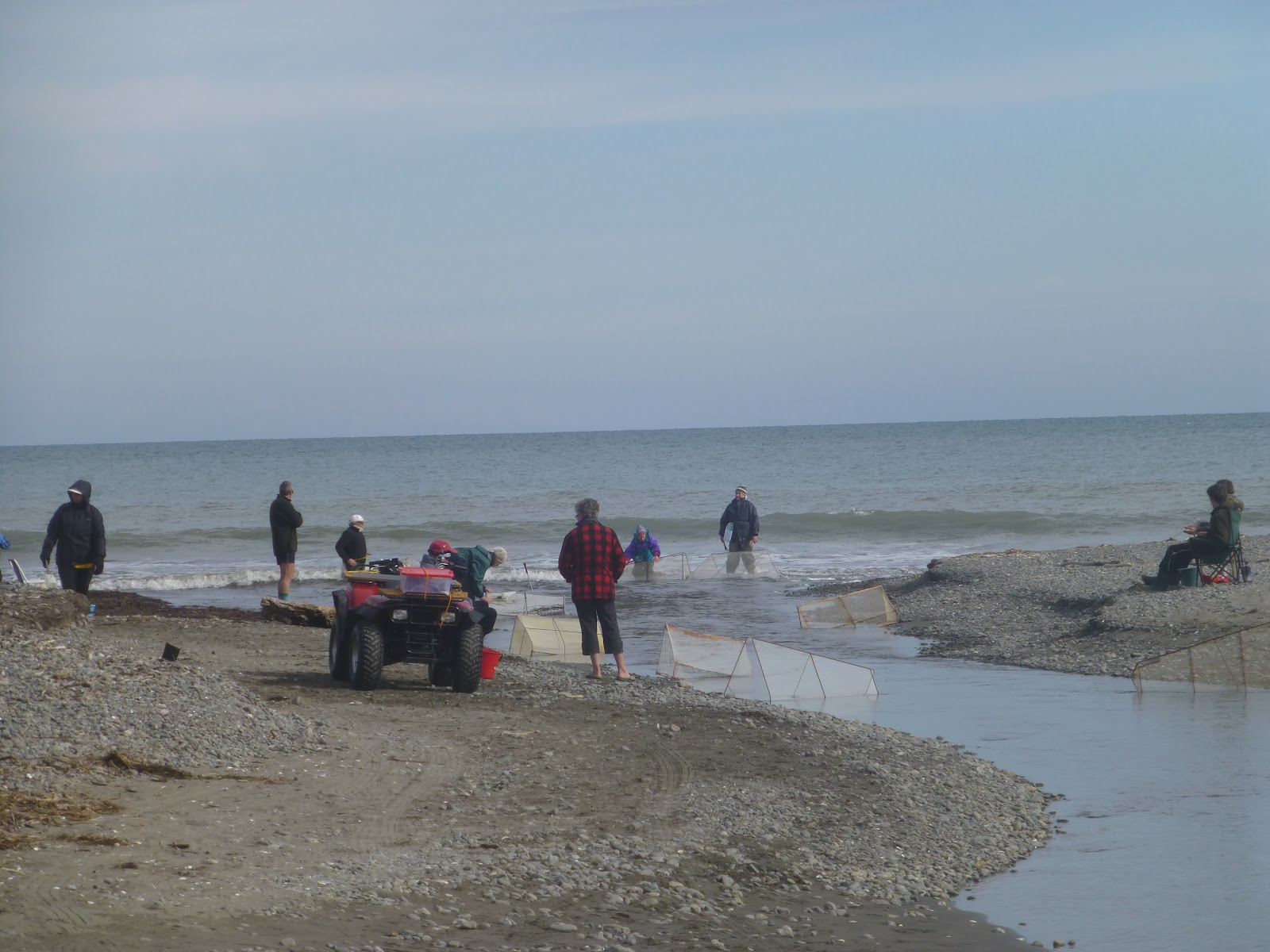
 A further 1hr or there abouts you will see some houses that is the beach side place called Te Horo. Here is another but larger stream. At times of the year you will see people with nets waiting for the Whitebait. The Whitebait season generally runs from mid August to the end of November.

  As the stream can be deep and fast flowing the best option is to head inland along a road for about 50m until you come across a bridge. Cross over and continue along the road and after about 30 minutes the road curves round to the left. A couple of minutes later you will see a change from the sandy dunes and sandy beach to one of stones and a scrubby area.


 There is no beach of such as the stones head all the way to the waters edge, a marked change in a very small area.
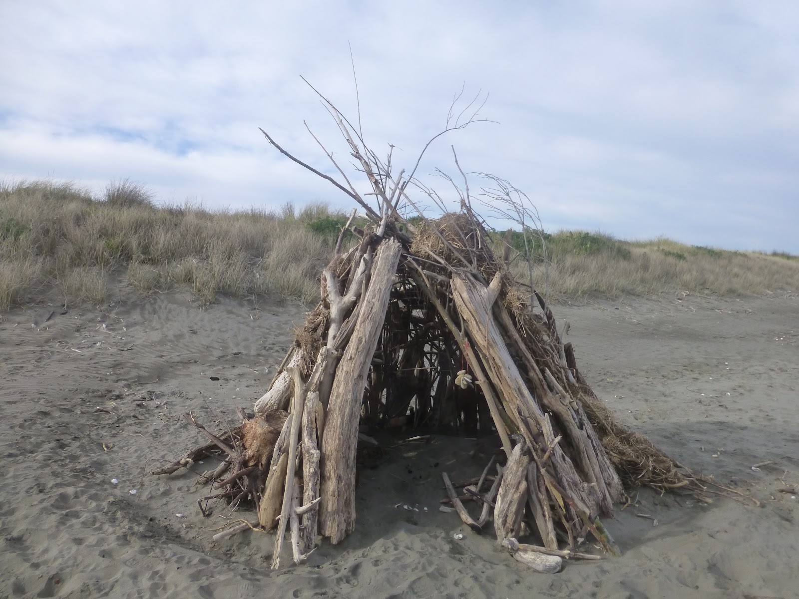
 Follow the dirt track and on the way you will see some amazing shacks made of some what ever the person can find.

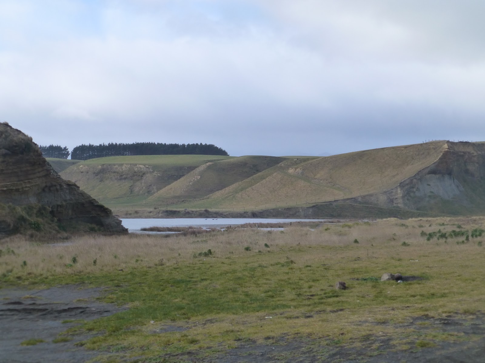
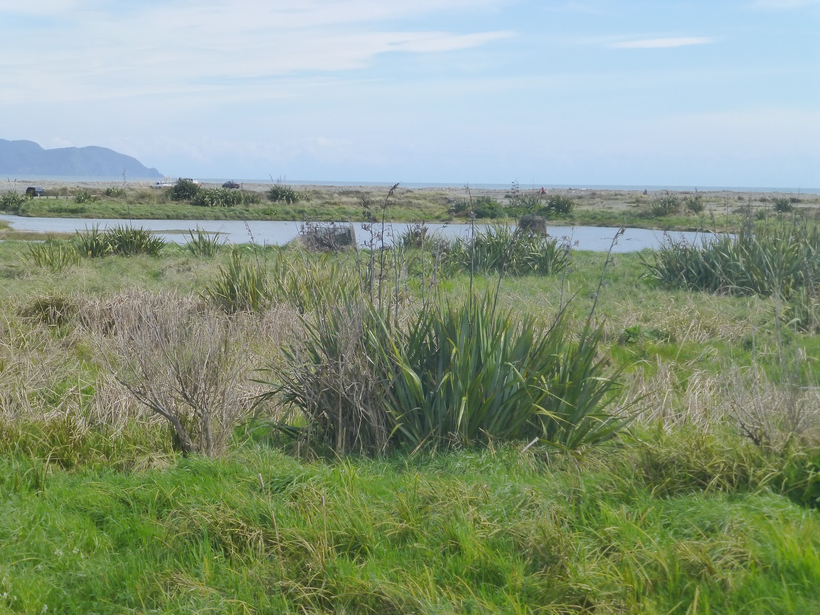
  After a short walk head up to the bank to you right. Here gives you some good views of the small lake left from the high tides and the Otaki river as it heads out to sea.
 On the other side is Otaki and the only was that you can get over to it is to carry along the bank until you arrive at SH1 and cross the bridge (care required and there is a path). Once across along he other side and you will end up at the Otaki Beach Reserve.
 Here you will a lot of work to restore and replant part of the area.
 Also a group of locals have been helping to restore and replant the river banks.
 This is the theme along this stretch of coast from Paekakeriki to Otaki where groups are working hard to maintain the beauty of this area.
 It will take around a 2hrs to around around the river.
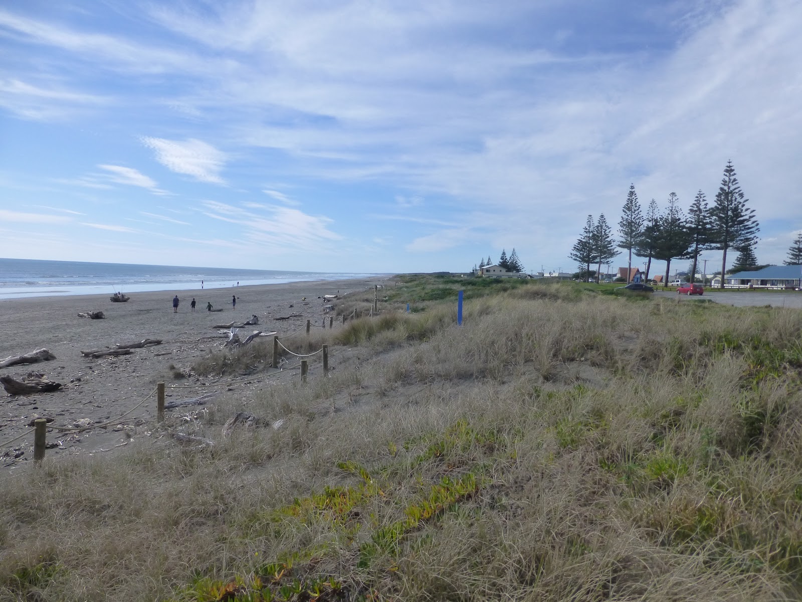
 At the reserve continue along the road which will take you to Marine Parade where you will end up near the Surf Club.
 From here you can wait for the bus (or if feeling up to it walk back into Otaki)  to take you back to Waikanae if heading back to Wellington.
Getting to and from. The easy part is getting to Waikanae and walking to Otaki. The hard part is ensuring that you give yourself time to catch the bus back from Otaki as there is a limited service Mon to Fri and less so over the weekend.

 It would be better to start early and get the earlier bus from Waikanae to Otaki then do the walk to Waikanae where the bus service offers a better frequency.

Earthsky: Happy Feet Article

Waikanae and Riverbank Scientific Reserve

Queen Elizabeth Park and Area

Distances. Total approx is approx 27Km
                Waikanae to Peka Peka. 3.5Km
                Peka Peka to Te Hoho   5.5Km
                Te Hoho to Eastury        3.4Km
                To Otaki Beach Via
                river bank and Reserve   10.4Km
                Otaki Beach to Town     2.5Km
Allow around 6/7 hrs.
Be prepared for changes in weather. Take food and water and wear good foot wear.

Bus 280 offers good service to Waikanae Beach and rail station.
Bus 290 is the Waikanae Rail Station to Otaki.

Metlink Bus/Rail Service

James/Windy Hill Flying Club

Prune Belly Syndrome: Elijah’s Garage Fundraising Update1

Thank You All.
 A big thank you to every one that either brought things to be sold, helped or but their hands into their pockets,wallets or raided the kids pocket money.
 After a lot of work in pricing.orginising,and repling to people by Mum with many a long night and early mornings and loads of coffee to keep going,the garage was ready for the big day.

 Sunday 9th Sept arrived clear although windy, unlike Saturday where the weather was chucking every thing it could at Wellington. ( Those at the AB’s v Argentina could vouch for that, including the power cut caused by  a lightening strike at a sub station). 
                                                                        
A steady stream of people came by to brouse,talk and buy. These people took a interest into what the operation was for and for many they have never heard of PruneBelly Syndrome.
 All the people that gave never asked for the change which was a wonderful show of commumity spirt that is still out there.
 By mid afternoon it was all over so the place was given a tidy and review of what was left. So another one will take place soon. Date and time to follow.
 A quick dash to the bank was required before the rain finally arrived and to take some signs down.
THANK YOU TO EVERYONE WHO DONATED ITEMS, BOUGHT ITEMS AND HELPED!
Also a Big thank you to the many who made donations. Some we know others we don’t but were generious enough to donate.

We still have enough for another sale or if there are other items you fancy please message me.

8 dining chairs
Mini Fridge
Heaters
Much more needs to sell.

Please log onto my  face book page to undrestand what PruneBelly is and how it can affect the lives of those who have it and the famlies.
    
©  Elijah.2012 

Out There in Wellington: Hidden Art: F69 Propeller


 Located between Te Papa and Waitangi Park is a section of sunken ground that runs from Wakefield Street and Chaffers Marina.
 At the Marina end is a wooden bridge that crosses this area. Located on the right of this bridge if crossing from the Te Papa end you will see a propeller.
 This was placed here in 2006 after it was donated by the Rotary Club of Wellington.

 The Propeller came from the NZ Navy Ship Wellington which served with the navy for 18 years and before that it was named HMS Bacchante which served with the UK Navy for 12 years before that.

 The boat now sites at the bottom of the Cook Straits near Island Bay (South Coast of the North Island)       after being sunk. It is now used for diving on and around and also for it to become a reef.

James/ Windy Hill Flying Club

New Zealand Shake Out; Update 3: Are You ready.

Get Ready Get Thru logo
1,000,000.
 The good news is that the 1,000,000 sign ups has been received on September 4th.  The date is one of 2 dates that it will remember .
 A 71. magnitude hit the Canterbury region (Darfield) at 4.35am. and the aftershocks continued with the 6.3 on 22nd February although not as strong,it was closer to the surface. This caused the destruction and deaths that happened.
 So it is important that New Zealand prepares for another event that could occur at anytime. This is  way the Shake Out NZ is an important event for people to be part of.
 The drill takes place at 9.26am on Wednesday 26 September 2012.
 So please sign up either through work or as a family and read the information that is provided.
 The links below will give you all the information that you will need as well as any updates.
James/Windy Hill Flying Club