Wellingtons Hidden Places: Truby King House and Gardens


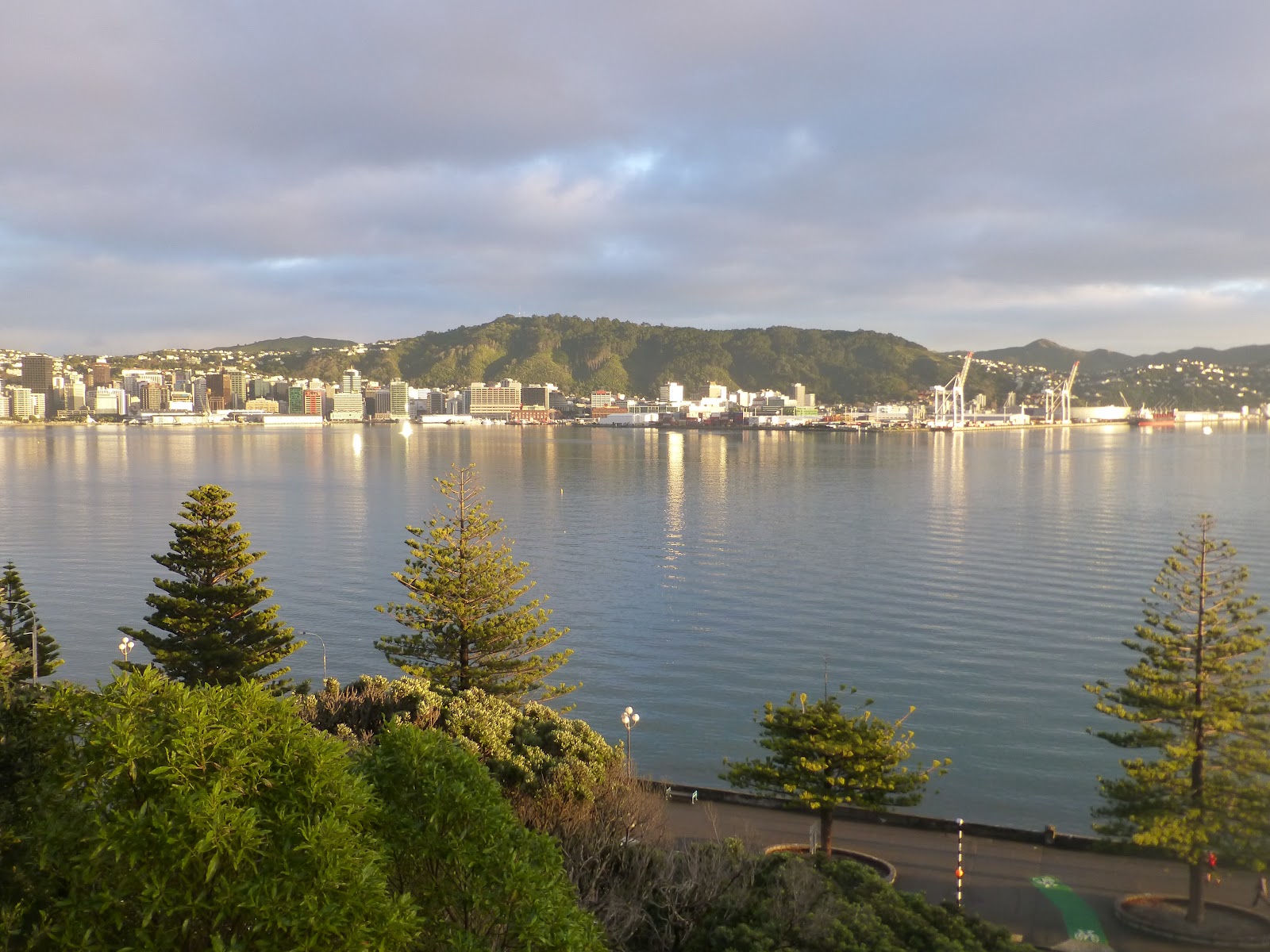
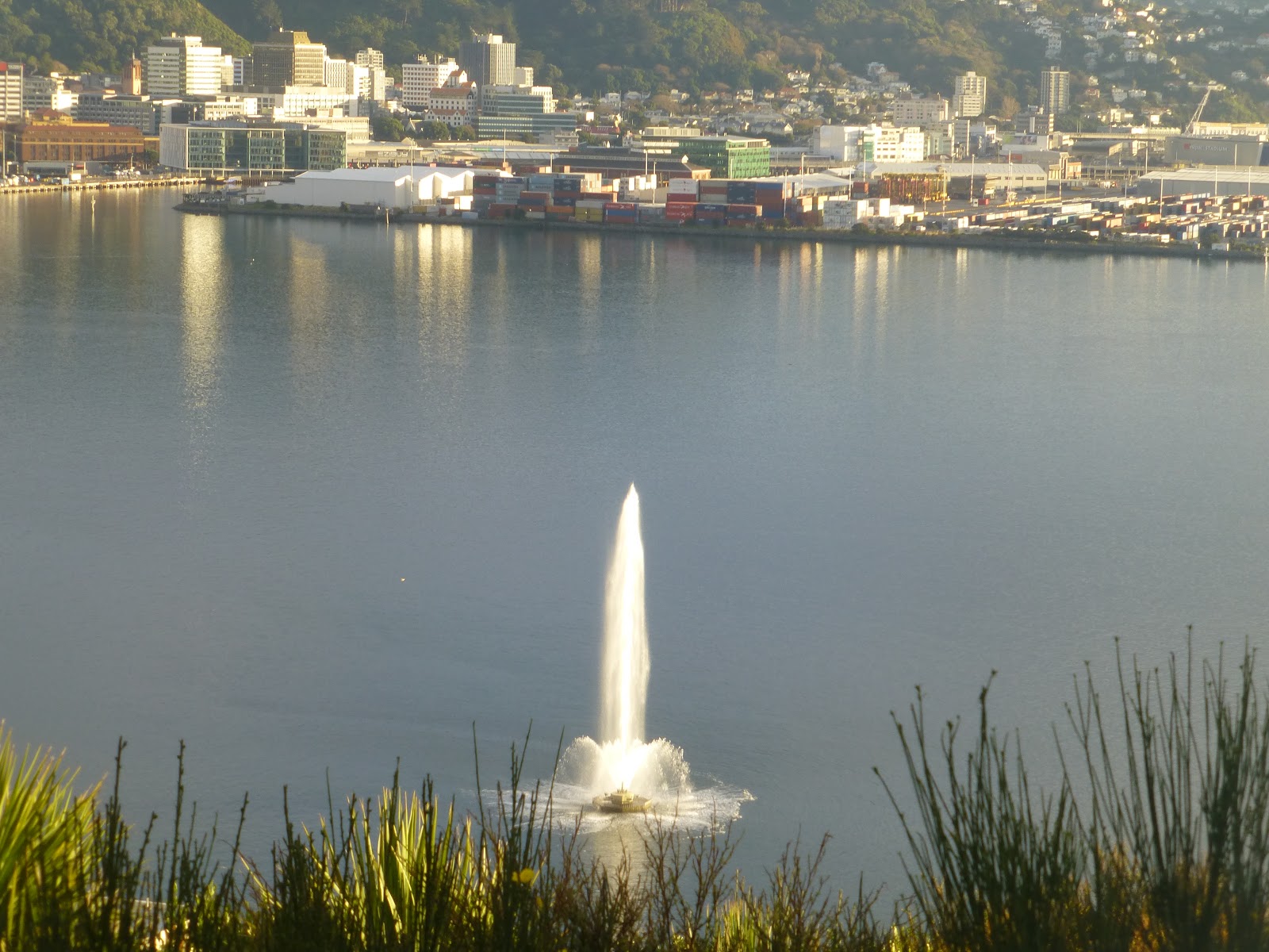
 Located in Melrose,The Truby King Park and House sits on a ridge that overlooks Kilbirnie and beyond to the east and Behampore/Kingston to the west.


 Unless you know its there it is well hidden from view. The house was designed in 1923 for Frederic Truby King who is the founder of The Plunket Society of New Zealand which was established in 1907.
  Truby and and his wife Isabella lived in the house between 1924 and 1932. The Garden covering 10 acres has a number  of brick paths that wind across the side of the hill that overlooks Kilbirnie. It was designed in 1924 as part of the Karitane Hospital that was built near by,so enabling the mothers staying at the hospital  somewhere to relax.

 In 1927 Isabella died and it was in 1932 that Ruby King gifted the house to the Plunket Society.He moved a short distance from the house to a flat in Sutherland Crescent. He then spent a short time back in his former house until he passed away in the February of 1937.


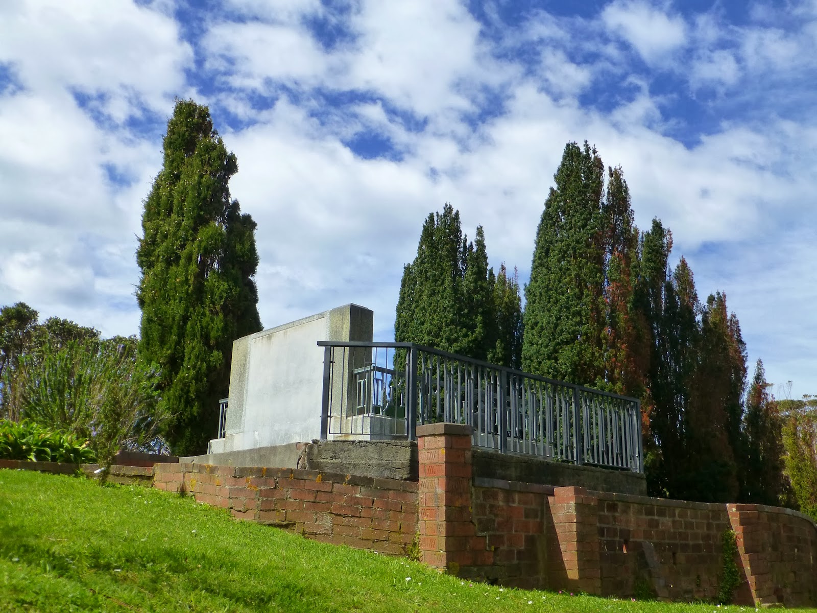
 Truby and his wife a buried in a mausoleum that is located between the house and the gardens. His wife was transferred to the mausoleum after Trubys funeral from a cemetery in Porirua.
  For a while the Plunket Society used the house and land but was then taken over by the army during WW11.
 The house had different uses during the 60’s before going back as a office for the deputy director of nursing.
The house had very little work done on it for a number of years,and by the 70’s it had become neglected   and Plunket found it difficult to maintain.It was not until 1990/91 before the land including the house,mausoleum and gardens were aquired by Wellington Council.
  A number of improvements have been carried out on the house and gardens ensuring that the area is kept in good condition.
 Although the gardens and Mausoleum are open to the public the house is not and viewing is by appointment only.
 The house has now been recognised as having architectural and historical significance.

 There are some very good information signage and maps around the site with some excellent information.
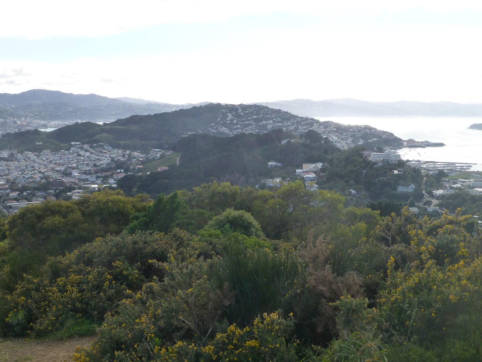
 The road that runs between the house and gardens form part of the Southern Walkway that goes from the bottom of Mt Victoria all the way to Island Bay.
The Historic Places Register  A very good site. Full details on this site and other places within New Zealand 
Mausoleum.                          Link can be found on the above page.
Historic Details                     Additional Information.
Karitane Society                  Details on the Karitane Society
Plunket New Zealand          Main Site
Tracks Org Southern Walkway  Has a good map on the site
Southern Walkway                    Link to the Councils web site where a map and good info can be found
Southern Walkway                   My Blog and Pictures on the Southern Walkway.
Above info from Historic Places Register or Info signs around site.
wildbayNZ/Windyhillflyingclub. 2013

Southern Walkway Wellington

 We are Lucky in Wellington to have a number of great walks and this one is no exception. It forms part of the Town Belt and runs from Oriental Parade all the way to Island Bay. It forms a ridge between the main town and the Eastern Suburbs ( including Miramar,Seatoun and The Airport.) The main start is in Oriental Parade near the Carlton Gore Road junction.

 The path works it way up towards Mt Victoria with glimpses of the mast that can be seen from most places in Wellington.
   At each turn of the track you will get a different view of Wellington,The 1st part of the walk is steep in places but is worth it when you get to the top.
 Along with the direction signs there are signs that have CC and a orange triangle. These are a indication for Cross Country runners the steepness of the track.

 There is some great views with some information boards with a history of what there is including one on the wonderful windy weather that Wellington is known for.


 Once you’ve completed admiring the views you head down the road and after about 10minutes you cross over Crawford Street and after a walking around a couple of roads you head up through the pine trees in Trudy King Park.

 You head towards Melrose Park which backs onto Wellington Zoo, and on most days you will hear the roar of the lions.
 The track will take you around Mt Albert and you will come out near the water reservoir and the phone masts. Take a slight detour up to the trig point where you will see where you are heading to and what you have completed.

 After crossing Houghton Bay Road and heading up a short climb you will come to Sinclair Park where you will have a couple of options.
 The first one will take you down through the park down onto Houghton Bay Road. You then can head back up to Buckley Road which will take you above Island Bay with then a short steep downwards section until you arrive in Island Bay.
 The other option is to continue along the coast road until you arrive in Island Bay.

 If you are lucky and the weather is good then you will get goods views of the South Island with its mountains with snow gracing the tops.

 There are times that you are aware if traffic but this does not distract from having a great walk that takes in the best of what is on offer.
  The total distance is approx 9km and the highest point is 196m at Mt Victoria.. Allow 4 to 5 hours to complete the whole walk but there are a number of options of only completing smaller sections.
 Getting There: If starting from Wellington a quick walk from town will get you to the start or if by bus the #14 will stop at the walk start ( #24 during the week). If starting from Island Bay then the #1 is the option.
 If  still feeling fit the the coastal walk between Island Bay and Lyall Bay is a good option.

 Bikes are allowed along most of the track so take care.

Southern Walkway Map   Downloadable Map.

Bus Timetable  Metlink NZ

james/ windy hill flying club.