
It is at this point, if you are sailing, you turn either into the Cook strait or follow the East Coast North.

Passing through Whangaimana ( Hospitality by the Sea in Maori) you come to a section of stunning looking rocks called the Putangirua Pinnacles formed by erosion from the Putangirua Stream. Take time to view natures wonder.
Take care parking along this stretch as the road has become narrow because of erosion from the sea.

The main activities at Ngawi is fishing ( Paua, Crayfish and Cod). Also some of the baches can be rented out.
On the beach you will see a number of boats on trailers with bulldozers attached. It is the only way to launch the boats or bring them in due to the very stoney beach as there is no causeway, weather can be extreme at times as a result the boats are not able to put to sea.

Locally it is known as Kupe’s Sail named after a Maori leader who was involved in the discovery of New Zealand by the Polynesian’s, Similair designed sail’s were made for sails boats of the time.*
Continue along the gravel road where you cross a couple of rivers either by a bridge or through the water, care is needed as the road is close to the edge of the water, if the winds are strong you can feel the car shake. Take time to photo some of the views that the coast has to offer.
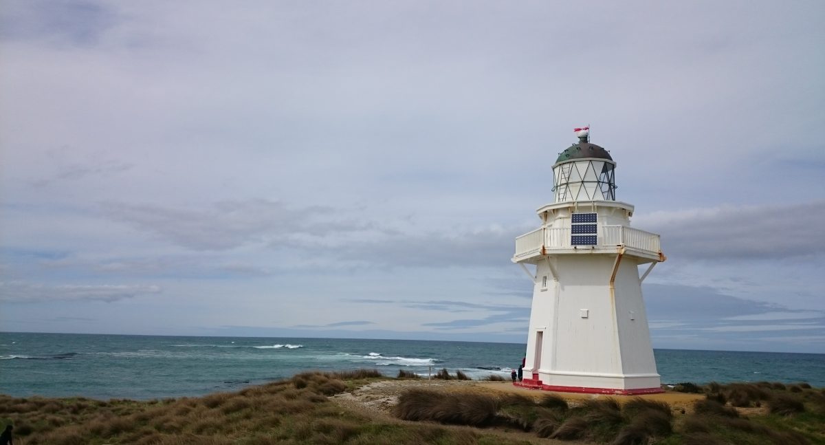
 The distance from Ngawi to Cape Palliser lighthouse is only 5km but it will be a while before you see it from a distance.
The road takes you around the front of the lighthouse where you will be able to park, here you will come accross a building owned by Maritime New Zealand.
On the building you will find a brief history of the lighthouse displayed with some additional information.
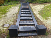
Not far from the building the climb starts up to the lighthouse, This is via 250 wooden steps which have been counted that will take you up to Cape Palliser Lighthouse.

The Putanhiua Pinnicles. DOC NZ : Very good information on the pinnicles and the surrounding area.
Aorangi Forest Park DOC NZ : Covers the whole area of the Aorangi Forest Park including Kupe’s Sail.
Cape Pallister Lighthouse.Maritime NZ : Good information about the lighthouse including technicial information.
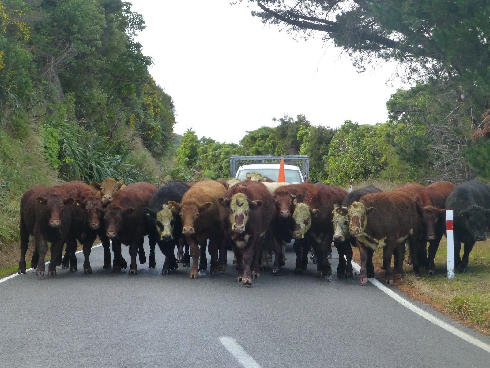
Expect the unexpected when driving, who knows what you may meet around the corner.
Travelling from Wellington once over the Rimutaka hills and in Feathetston you can take the Kahutara Road, along which when you arrive at Tuhitarata you turn right on to the Martinborough Pirinoa road, the turn off to Cape Palliser is not far after Pirinoa.
Note: Kahutara Road is prone to flooding, If closed there will be signs indicating this so head onto Martinborough.
As far as Ngawi the road has good seal but once through it turn’s to gravel so care will be needed, to make a day of the area before heading back inland take time out to visit Lake Ferry which is a short 10minute drive from the cross roads back to Martinborough.
The Distance from Wellington is approximately 110km to Cape Palliser.
*Wikipedia
James/The Bay Limited
