
It may not be the most stunning of walks in the area but what it lacks in views it offers many opportunity’s to take short loops with family and friends,go for a run or have a good cycle with the kids.

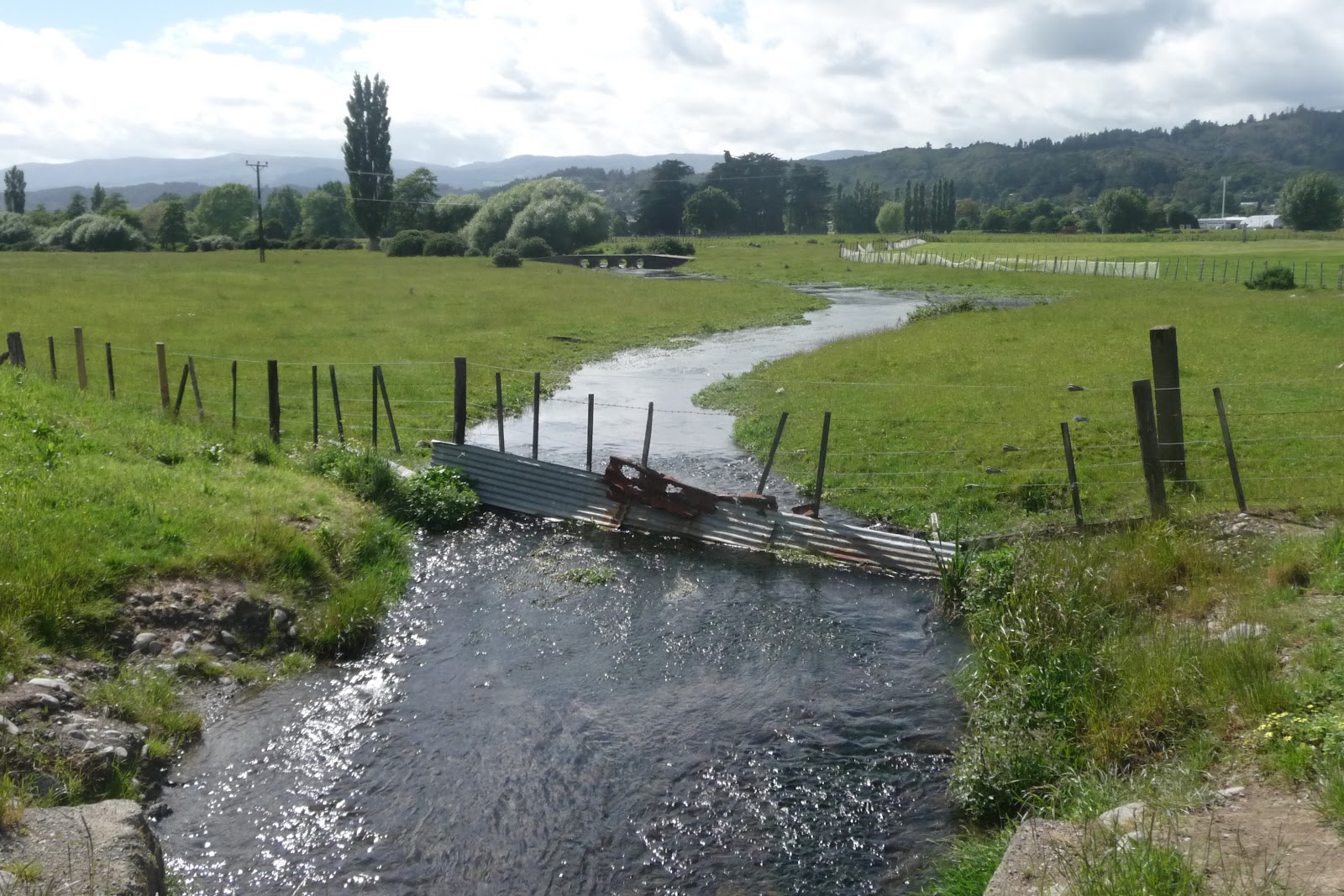
You can walk on either side of the river bank with the path being made of concrete. Take care if you are on the side of the golf course and stay to the footpath.

At about 9k (between Taita and Pomare) is a good section that is suitable for swimming.
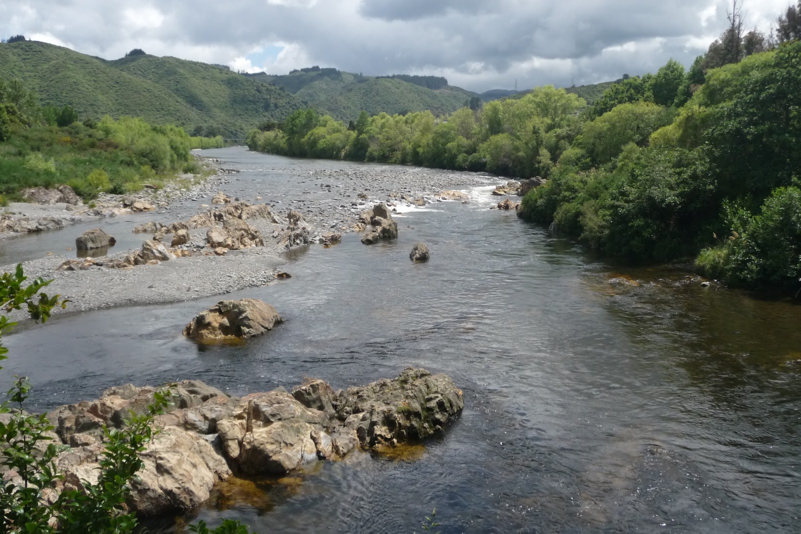
To you left if heading towards Siverstream you will see the hills of The Belmont Regional Park, a stunning Park affording some great views with peace and quiet.

Day 2: Silverstream to Birchville. The scenery changes from the flat area on day 1 to feeling that you are being closed in by the hills on either side. I found this section more enjoyable to walk with more interest around and the changes of the river from as it comes down from the hills to the flatter and wider area.
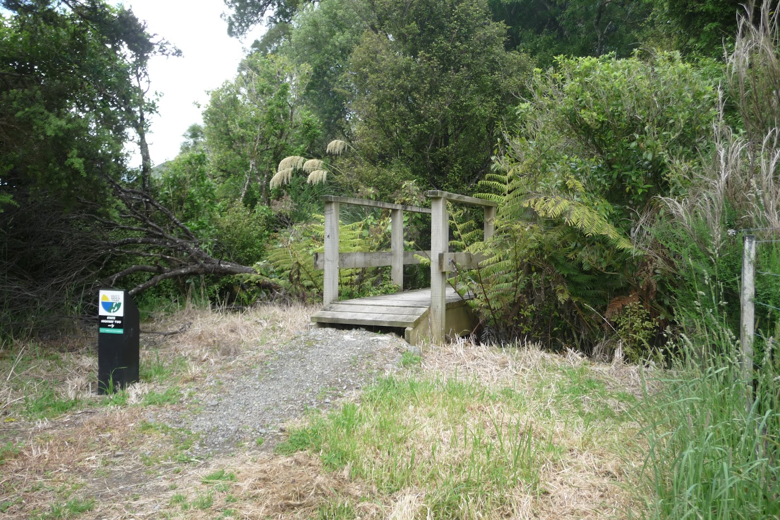
If you do continue you will find the walk becoming a little more rugged in places. The track heads towards Te Marua and at some point heads into the Kaitoke Regional Park.


The track is approx 28Km to Birchville,with Silverstream is approx 13.5km
There are some very good maps all along the track showing where you with distances and places behind and in front of you.
There are toilets along the walk.
Also there is wheelchair access and the route is pram and bike friendly.
Dogs are allowed and must be under control or on a lead.
Please be considerate to other uses.
Remove litter.
Note no trail bikes,quads and trikes allowed on any part of the track.
Thank you to @thebay on Twitter. Over 500000 people use the trail each year. Just goes to show how popular it is.
Good maps can be picked up from Wellington I-Sites and at Upper Hutt Visitor Centre:
For Map and Information click on link below:
Hutt River Trail Wellington Council
Getting there and back click on link below:
